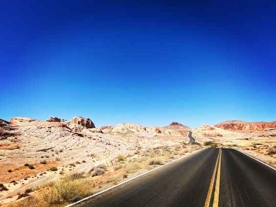
Travel Guide of Valley of Fire State Park in United States by Influencers and Travelers
Valley of Fire State Park is a public recreation and nature preservation area covering nearly 46,000 acres located 16 miles south of Overton, Nevada.
Pictures and Stories of Valley of Fire State Park from Influencers
11 pictures of Valley of Fire State Park from Jake Blucker, Cara Fuller, Leximphoto and other travelers
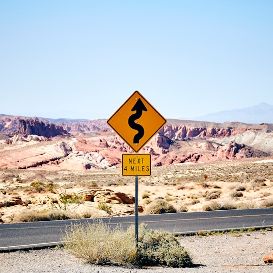
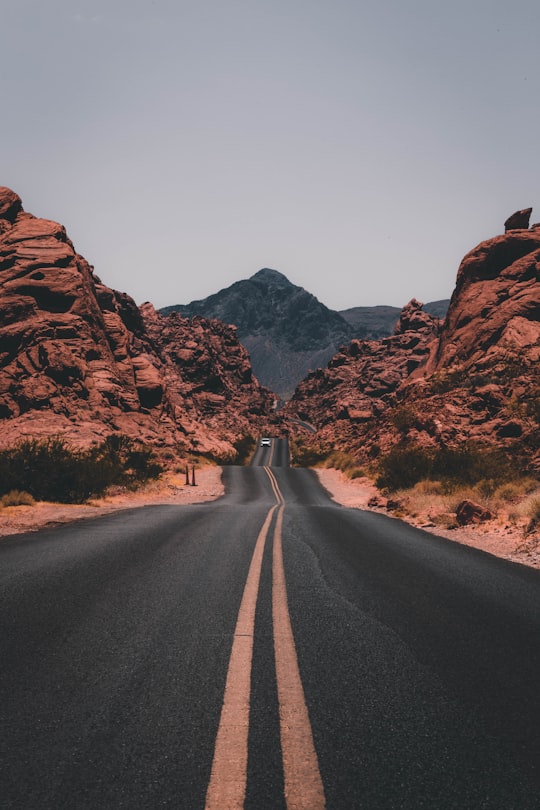
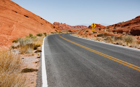
- Lonely road sign in the Valley of Fire, Nevada. ...click to read more
- Experienced by @Fabien Bazanegue | ©Unsplash
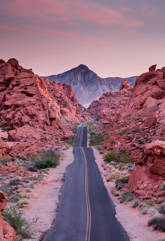
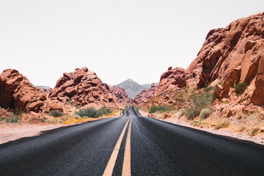
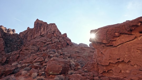
- Wish some Journey Never Ends ...click to read more
- Experienced by @Madhu Shesharam | ©Unsplash
Plan your trip in Valley of Fire State Park with AI 🤖 🗺
Roadtrips.ai is a AI powered trip planner that you can use to generate a customized trip itinerary for any destination in United States in just one clickJust write your activities preferences, budget and number of days travelling and our artificial intelligence will do the rest for you
👉 Use the AI Trip Planner
Book your Travel Experience at Valley of Fire State Park
Discover the best tours and activities around Valley of Fire State Park, United States and book your travel experience today with our booking partners
Map of Valley of Fire State Park
View Valley of Fire State Park on a map
More Travel spots to explore around Valley of Fire State Park
Click on the pictures to learn more about the places and to get directions
Discover more travel spots to explore around Valley of Fire State Park
🛣️ Road trip spots ️🏜️ Badlands spots ⛰️ Mountain spotsLearn More about Valley of Fire State Park
Valley of Fire State Park is a nature park in the state of Nevada in the western United States of America, located near Las Vegas and Lake Mead. It is a desert area named after the flaming colour of some of the sandstone rocks. Protected since 1935, the park is the oldest and most extensive in Nevada.
A visit to the park offers a journey through geological and historical time. Tourists can also camp, hike and photograph. A visitor information centre provides information on the geological formations, flora and fauna of the area. The park has 250,000 visitors each year.
The climate of the Valley of Fire is arid: it is a so-called shelter desert. Located in the interior of the North American continent, the region receives little precipitation because it is blocked by mountain ranges. It falls in winter and takes the form of thunderstorms in summer.
In winter, temperatures vary greatly between 0 and 24°C. In summer, they can reach 45°C in the shade. There is also a wide temperature range between day and night.
Frequently Asked Questions by Travelers planning a trip to Valley of Fire State Park
The nearest town next to Fire State Park is Overton.
Where to Stay near Valley of Fire State Park
Discover the best hotels around Valley of Fire State Park, United States and book your stay today with our booking partner booking.com
Popular destinations near Valley of Fire State Park
Disover the best Instagram Spots around Valley of Fire State Park here
